Went for a hike this weekend to Buzzardroost Rock in Adams county, Ohio. It is part of the Edge of Appalachia preserve in southern Ohio. I’ve been to this part of the state before to hike Fort Hill and Shawnee State Forest. It’s a long, long way from the city, and as beautiful as any place I’ve seen.
On the way we stopped in Georgetown (on route 125) and saw the boyhood home of Ulysses S Grant, the schoolhouse he attended and his father’s tannnery. We didn’t take the tour, we just did it the man way – had a look, said mmmm-hm, and got back in the truck. The trailhead is another one of those tiny gravel parking lots you wouldn’t notice if you weren’t looking for it.
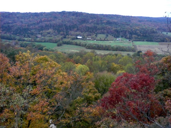
The trail is 3.5 miles total (out and back). It goes gradually up along the side of a ridge for most of a mile, dips down then gets steep up another ridge. There are several switchbacks up the slope and some hard uphill stretches until you finally reach the peak. After that it dips down and opens up into Buzzardroost rock, a limestone outcropping that gives a breathtaking view of Brush Creek and the surrounding valley. We picked a beautiful time to go as the fall leaves were nearly at their peak. The rock is 300 feet above the valley floor, and it’s strange looking down into the tops of maple and oak trees. We did actually see some buzzards soaring over the valley.
Although the trail was diverted in places by downed trees and it gets steep, I thought it was a pretty easy trip to get such a veiw. There are a couple other short trails in the area, so if you’re hardcore you could make a day of it. I found more information on the area at this site. Here’s a picture from the top of Buzzardroost Rock.
If you’re interested, there are more pictures here.